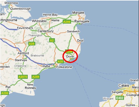
Swingate Down, Dover, Kent 15 March 1916 - 12 Nov 1917
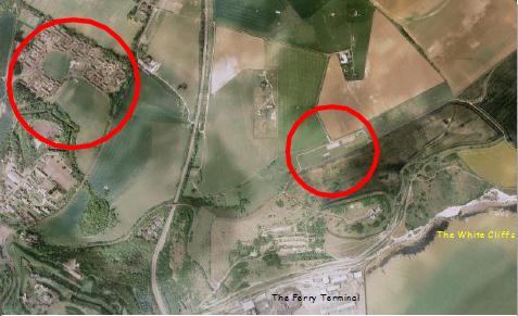
There were two airfields in this area.
The left circle is Guston Road and the right circle is Swingate Down
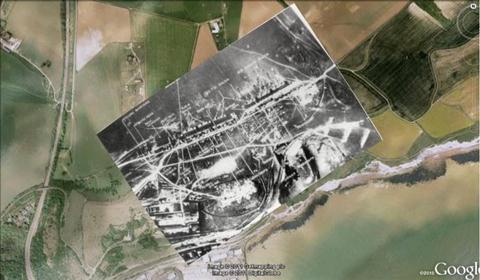
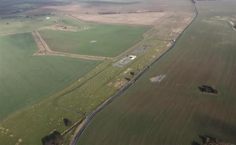
Swingate Down today with an overlay of the old airfield
The hanger areas at Swingate (Geoff Hunt)
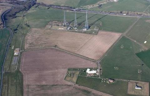
The old airfield hangar bases (LHS) and the subsequent Chain Home Radar site
(Geoff Hunt)
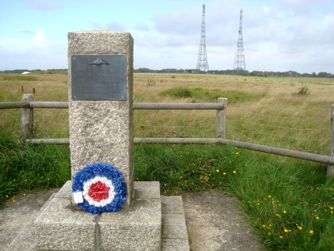
The memorial commemorates the departure of the RFC Squadrons (with Swingate Chain Home Radar in the background)
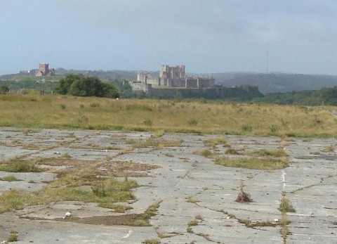
There are fine views from the area of the old hangers
Swingate Down, the WW1 Royal Flying Corps airfield, was built on the site of an earlier private airfield and was opened in 1914 as a final landing-ground before crossing over to France
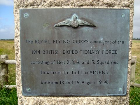
When the Royal Flying Corps prepared to fly to France in August 1914, it assembled four squadrons (2, 3, 4 and 5) each with 12 aircraft.
All these machines assembled in a field at the top of the cliffs, just to the north of the present Eastern Docks.
In 1915 the airfield consisted of a few wooden hangars and huts,however it was expanded in 1917 and five large hangars, a General Service Aircraft Repair Shed and various other buildings were built.
49 Squadron and Swingate
15 March 1916 - 12 Nov 1917
49Sqn was formed and remained at Swingate for about 18 months. During this time the war was not going well for the Allies with mutinies in the French Army and the disastrous Battle of the Somme in late 1916.
The war had settled down into static trench fighting, a war of attrition, where defensive power was paramount.
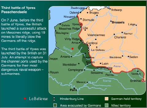
On June 7th 1917 the British Commander-in-Chief, General Haig, launched the first phase of an offensive which had the objective to break out of the Ypres Salient and also to relieve the pressure on the weakened French Army .
On that day, nineteen huge mines were detonated by the Allies.....the world's largest non-nuclear explosion.

The menu of the "Farewell Dinner" held on the 19th October 1917.
Less than a month later, on November 12th 1917, 49Sqn flew out from Swingate to La Bellevue located SW of Arras. This airfield was near the area left devastated by the Germans as they fell back to the Hindenburg line earlier in the year (see the map below)