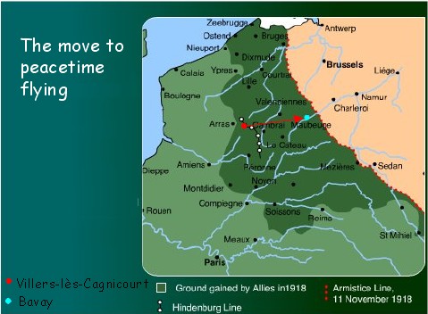
Villers lès Cagnicourt, France 30 Oct 1918 - 24 Nov 1918
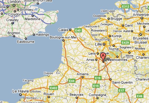
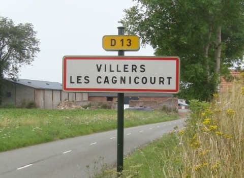
62182 Villers-lès-Cagnicourt, France
Information received from the Mayor, Monsieur Michel Lourdel, indicates two locations in and around the village.
He also has knowledge that 49Sqn (together with 27Sqn and 62sqn) made this their home for almost a month.
The area around the village was the scene of intense fighting (mostly by Canadian troops) as the Hindenburg Line was breached.
There are several Canadian cemeteries and memorials in the area.
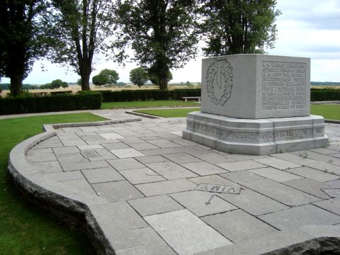
The Canadian 'Battle of Dury' memorial with the fields of Villers-lès-Cagnicourt in the background.
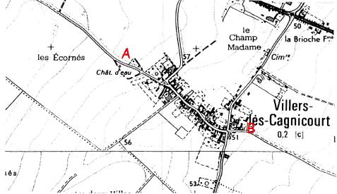
Monsieur Lourdel also very kindly spoke with a village elder who reported that his grandfather was ordered by the Germans to remove hedges in order to build their airfield.
It was behind a large farm which was used as the Kommandantur.
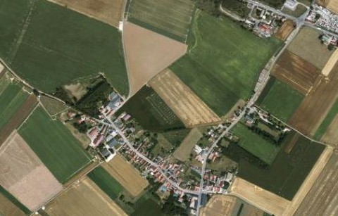
This is marked as "A" on the map he provided (see above).
Another inhabitant told him that there was an English airfield next to the farm in position "B" on his map.
In both locations there are no visible traces remaining.
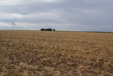
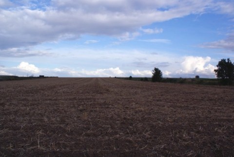
As can be seen in the above photograph (taken a point A) the area surrounding the village is ideal airfield country
The animation above shows a 360 degree view of the airfield site from location A
(The animation may take a few moments to load)
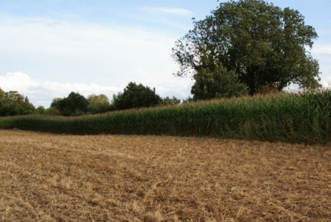
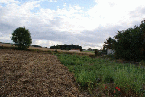
The image above is taken at point B but, due to a large barn located behind the photographer, only a 180 degree view is possible.
The animation above shows a 180 degree view of the airfield site from location B
(The animation may take a few moments to load)
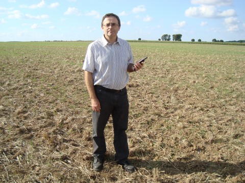
Maxime Martin in the fields with his GPS map which had an overlay of WW1 positions

Click for a larger map (in a new window)
Maxime also sent a very detailed map of the area showing incredible details of the defences which ran through the village.
Click for a larger view (in a new window)
The Association would like to thank Maxime Martin for these detailed maps and earlier photographs
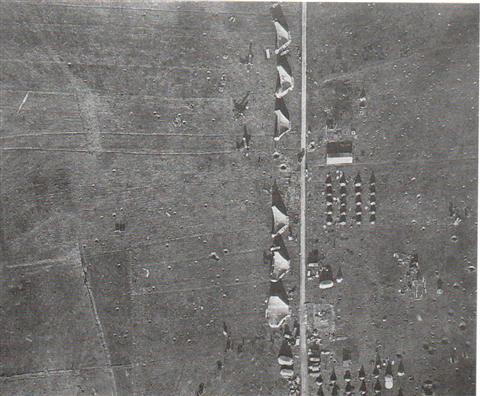
The airfield dated November 1918 (when 49Sqn were based here)
49Sqn and Villers-lès-Cagnicourt
30 Oct 1918 - 24 Nov 1918
Casualties: 6 x DH9, 4 x killed On November 1st the plans for the final Allied offensive were finalised. However, with a lot of misty and rainy days flying was much reduced. Throughout these first few days of November the Germans continued to retreat.
By November 4th the skies were comprehensively in the hands of the Allied fighters and bombers ability to wreak increasing damage was only limited by the weather.
On November 9th Kaiser Hindenburg offered to resign and the Allies advanced towards the positions that were to become the armistice line.
The squadron’s last operational mission in World War One was on November 10th 1918 when 7 DH9s bombed Charleroi junction.
At 11pm on November 11th the armistice came into force and over 1700 German fighters and bombers surrendered.
On November 24th the BEF and US forces reached the German frontier.
On this same day 49Sqn moved to an airfield near Bavay.